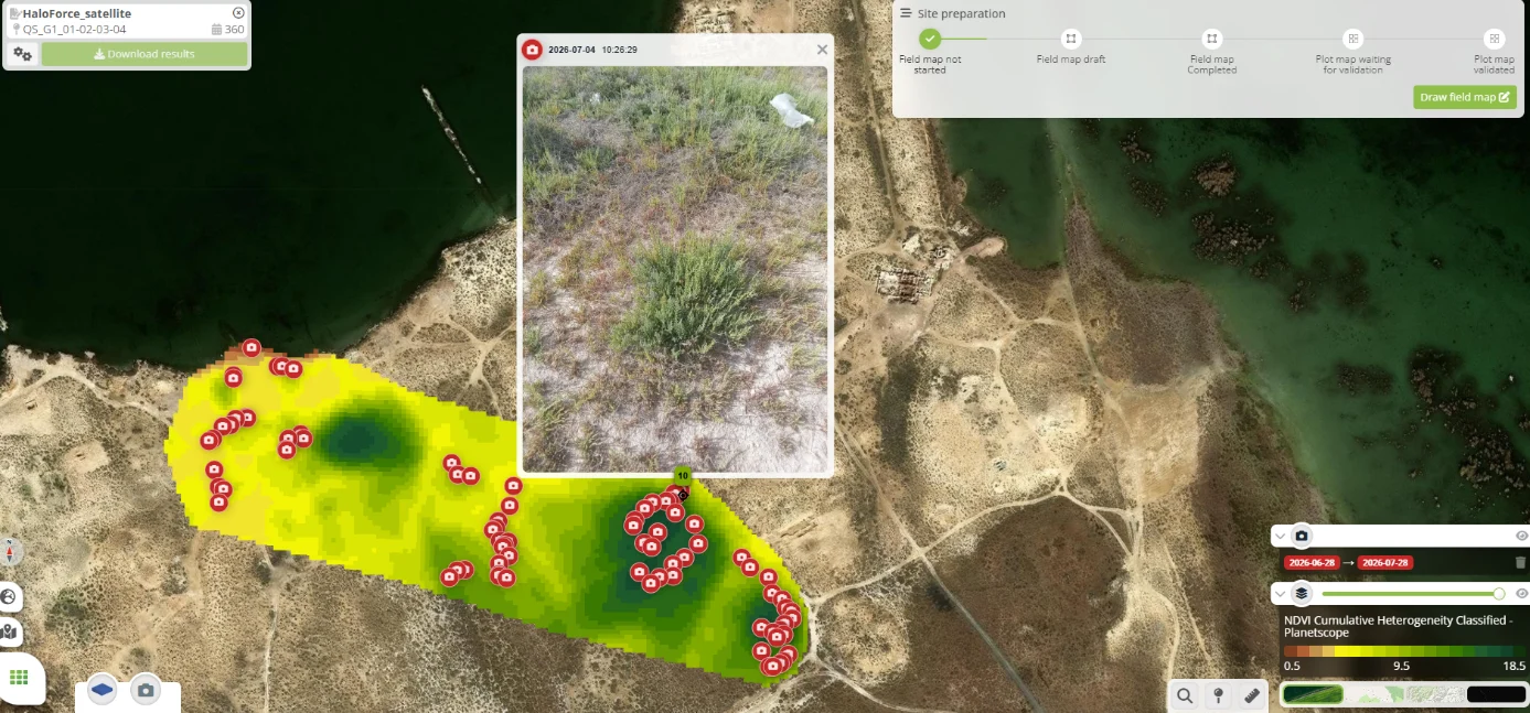
Wild plant populations do not grow in plots. In the PRIMA HaloForce project, halophytes such as Salicornia and Beta maritima, the wild ancestor of sugar beet, are spread across saline areas around the Mediterranean. Field teams from several partners know where the plants are, but their observations stay in phone galleries, disconnected from the maps used to monitor the sites.
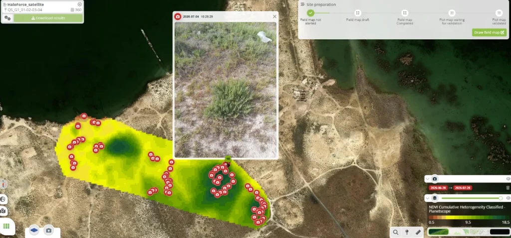
Cloverfield’s scouting module geolocates every field photo and overlays it on PhenoScale satellite maps, such as NDVI Cumulative Heterogeneity Classified – Planetscope, then on drone maps. Satellite imagery locates presence zones over large areas and follows their development to target drone flights. Drones then measure Mean Plant Height, Plant Biovolume and NDVI and count plants by detection, while Literal takes the same measurements in nurseries and where drones cannot fly.
Every ground sample is traceable to a location and a date, satellite and drone efforts are focused on zones confirmed on the ground, and all partners share the same visual record of what was seen where and when.