Field-level estimates of yield, quality or nutrient status all rest on a handful of physical samples. When those samples are placed on a grid or by habit, they miss the real structure of the field, and every downstream figure inherits the error.
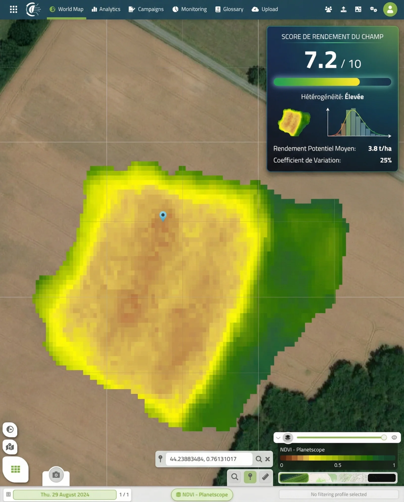
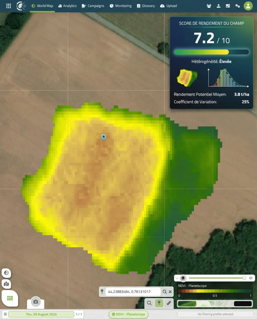
PhenoScale drone flights, combined with satellite time series where the acreage calls for it, map in-field variability from vegetation indices, biomass and canopy vigor. Cloverfield classifies the field into homogeneous zones and ranks them by their share of the field and their stability through the season.
Sampling points then go where each zone is genuinely representative. Growers and field-trial managers cut the number of samples needed while improving the accuracy of every field-level estimate that depends on them.